
Mapa topográfico Veitastrond
Mapa interactivo
Haga clic en el mapa para ver la altitud.
Acerca de este mapa
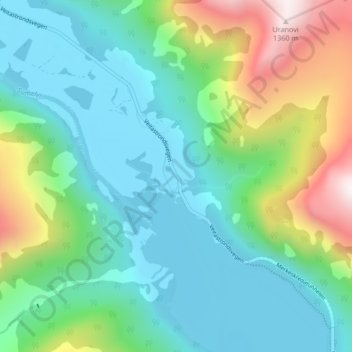
Nombre: Mapa topográfico Veitastrond, altitud, relieve.
Lugar: Veitastrond, Luster, Vestland, 6878, Norway (61.45280 7.02430 61.49280 7.06430)
Altitud media: 477 m
Altitud mínima: 166 m
Altitud máxima: 1.367 m