
Mapa topográfico Dells of the Wisconsin River State Natural Area
Mapa interactivo
Haga clic en el mapa para ver la altitud.
Acerca de este mapa
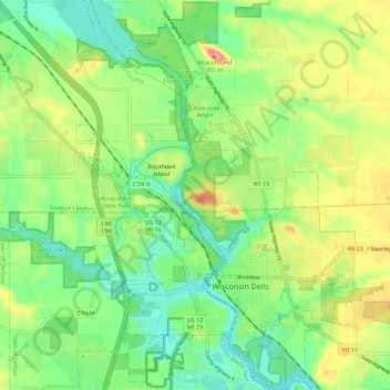
Nombre: Mapa topográfico Dells of the Wisconsin River State Natural Area, altitud, relieve.
Altitud media: 282 m
Altitud mínima: 244 m
Altitud máxima: 343 m