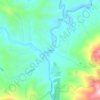
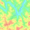
Mapa topográfico Jefferson
Haga clic en el mapa para ver la altitud.
Jefferson
Due to its high elevation, Jefferson has an oceanic or subtropical highland climate, (Köppen Cfb), with the coldst month of January averaging slightly above freezing, while summers are much milder than most of the southeast, with July averaging below 70 degrees fahrenheit.
Acerca de este mapa
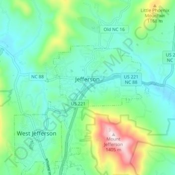
Nombre: Mapa topográfico Jefferson, altitud, relieve.
Lugar: Jefferson, Ashe County, North Carolina, United States (36.40475 -81.48950 36.43058 -81.42268)
Altitud media: 979 m
Altitud mínima: 841 m
Altitud máxima: 1.397 m
Otros mapas topográficos
Haga clic en un mapa para ver su topografía, su altitud y su relieve.
Warrensville
United States > North Carolina > Ashe County
The community lies at an elevation of 2,707 feet (825 m).
Altitud media: 931 m