
Mapa topográfico Ballyholland Lower
Mapa interactivo
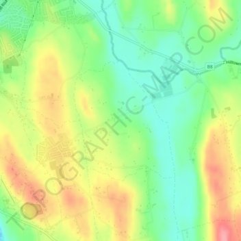
Haga clic en el mapa para ver la altitud.
Acerca de este mapa
Nombre: Mapa topográfico Ballyholland Lower, altitud, relieve.
Altitud media: 60 m
Altitud mínima: 14 m
Altitud máxima: 118 m
Otros mapas topográficos
Haga clic en un mapa para ver su topografía, su altitud y su relieve.
Mourne Mountains West
United Kingdom > Northern Ireland > Newry
Mourne Mountains West, Newry, County Down, Northern Ireland, United Kingdom
Altitud media: 272 m
Newry
United Kingdom > Northern Ireland > Newry
Newry, County Down, Northern Ireland, BT35 6BH, United Kingdom
Altitud media: 129 m
Lisdrumgullion
United Kingdom > Northern Ireland > Newry
Lisdrumgullion, Newry, County Down, Northern Ireland, BT35 6BH, United Kingdom
Altitud media: 41 m