
Mapa topográfico La Manche
Mapa interactivo
Haga clic en el mapa para ver la altitud.
Acerca de este mapa
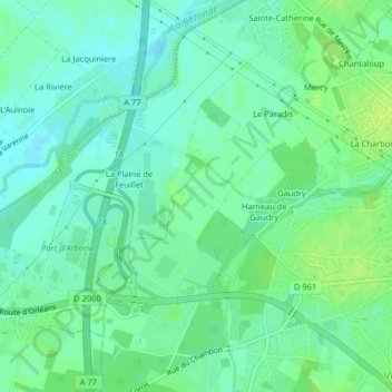
Nombre: Mapa topográfico La Manche, altitud, relieve.
Altitud media: 90 m
Altitud mínima: 83 m
Altitud máxima: 98 m
Otros mapas topográficos
Haga clic en un mapa para ver su topografía, su altitud y su relieve.
L Hopital
France > Centre-Loire Valley > Villemandeur
L Hopital, Villemandeur, Montargis, Loiret, Centre-Loire Valley, Metropolitan France, 45700, France
Altitud media: 92 m