Geolocalizar

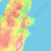
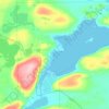
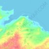
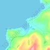
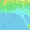
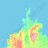
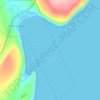
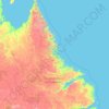
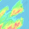
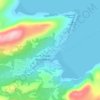
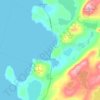
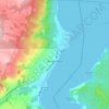
Mapa topográfico Flatrock

Haga clic en el mapa para ver la altitud.

Acerca de este mapa

Nombre: Mapa topográfico Flatrock, altitud, relieve.

Lugar: Flatrock, Newfoundland, Newfoundland and Labrador, A1K 0J8, Canada (47.66879 -52.76485 47.74879 -52.68485)

Altitud media: 73 m

Altitud mínima: -1 m

Altitud máxima: 242 m

Otros mapas topográficos

Haga clic en un mapa para ver su topografía, su altitud y su relieve.

Gambo

Canada > Newfoundland and Labrador

Altitud media: 44 m

Gander

Canada > Newfoundland and Labrador

Altitud media: 100 m

Badger

Canada > Newfoundland and Labrador

Altitud media: 106 m

Dover

Canada > Newfoundland and Labrador

Altitud media: 27 m

Clarenville

Canada > Newfoundland and Labrador

The Clarenville area has many of the physical features characteristic of the East Coast of Newfoundland and has a marine climate. It lies along the coastal slopes which rise from the Atlantic Ocean towards the interior central plateau of the island. The dominating physical feature is a ridge of broken peaks…
Altitud media: 102 m

Burin

Canada > Newfoundland and Labrador

Altitud media: 43 m

Equípate para tu próxima aventura:

🧥Forros polares - Aislamiento térmico ligero
👟Zapatillas de Trail Running Hombre - Calzado ligero y con tracción para correr por senderos
🥢Bastones de Trekking de Carbono - Reduce el impacto en tus rodillas y mejora el equilibrio
⛺Tiendas de camping - Refugio ligero para acampada
🕶️Gafas de sol de montaña - Protección ocular en exterior

Como asociado de Amazon, este sitio gana comisiones por las compras que califican, sin ningún costo adicional para usted.