
Mapa topográfico De Rug
Mapa interactivo
Haga clic en el mapa para ver la altitud.
Acerca de este mapa
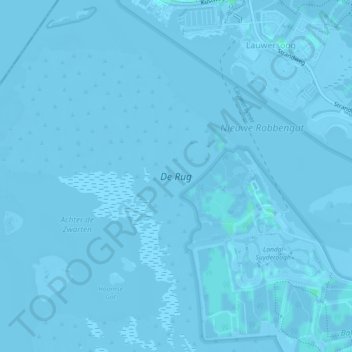
Nombre: Mapa topográfico De Rug, altitud, relieve.
Lugar: De Rug, Lauwersoog, Het Hogeland, Groningen, Nederland (53.38356 6.17887 53.40354 6.21248)
Altitud media: -2 m
Altitud mínima: -6 m
Altitud máxima: 3 m
Otros mapas topográficos
Haga clic en un mapa para ver su topografía, su altitud y su relieve.
Lauwersoog
Nederland > Groningen > Het Hogeland > Lauwersoog
Lauwersoog, Het Hogeland, Groningen, Nederland
Altitud media: -1 m
Lauwersmeer
Nederland > Groningen > Lauwersoog
Lauwersmeer, Lauwersoog, Het Hogeland, Groningen, Nederland
Altitud media: -1 m