
Mapa topográfico Anupgarh
Mapa interactivo
Haga clic en el mapa para ver la altitud.
Anupgarh
Anupgarh has an average elevation of 155 metres (508 feet), and is very close to the border with Pakistan. The fort at Anupgarh was built about 1689 by the Mughal governor to help suppress the local Bhati Rajputs who were rebelling.
Acerca de este mapa
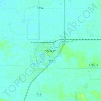
Nombre: Mapa topográfico Anupgarh, altitud, relieve.
Altitud media: 155 m
Altitud mínima: 152 m
Altitud máxima: 163 m