

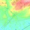
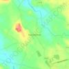
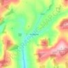
Mapa topográfico Clogheen
Haga clic en el mapa para ver la altitud.
Clogheen
Lewis' Topographical Dictionary of 1837 notes Clogheen as being located in the barony of Iffa and Offa West and reported that there were 1,928 inhabitants, a military barracks for the accommodation of two troops of cavalry, an extensive brewery, plus seven flour mills in the town and neighbourhood.
Acerca de este mapa
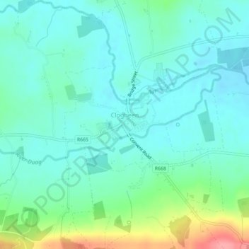
Nombre: Mapa topográfico Clogheen, altitud, relieve.
Altitud media: 65 m
Altitud mínima: 44 m
Altitud máxima: 135 m
Otros mapas topográficos
Haga clic en un mapa para ver su topografía, su altitud y su relieve.










Lisvarrinane
Ireland > County Tipperary > The Municipal District of Cahir — Cashel
Altitud media: 163 m
