
Mapa topográfico Plum Island
Mapa interactivo
Haga clic en el mapa para ver la altitud.
Acerca de este mapa
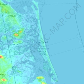
Nombre: Mapa topográfico Plum Island, altitud, relieve.
Altitud media: 2 m
Altitud mínima: -4 m
Altitud máxima: 62 m
Maximum dune elevation is about 50 feet (15 m). In the deeper depressions and more sheltered regions between or next to the higher dunes are vernal pools in which black oak, red maple and black cherry can be found. In the underbrush are cranberry. The ferns, moss and leaf cover there shelter salamanders and spadefoot toads.