
Mapa topográfico Dinagat Islands
Mapa interactivo
Haga clic en el mapa para ver la altitud.
Dinagat Islands
Dinagat Islands is a young island-province at the northern tip of Mindanao. Many describe Dinagat Islands as a hidden gem of the Caraga Region XIII. The Islands are enriched with great bio-diversity, abundant natural wonders and rich resources. Dinagat Islands has a multitude of fascinating white sandy beaches with arrays of colossal rock formations. These sites and attractions are as diverse as the topography of the islands and islets.
Acerca de este mapa
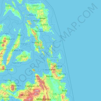
Nombre: Mapa topográfico Dinagat Islands, altitud, relieve.
Lugar: Dinagat Islands, Caraga, Philippines (7.59779 123.02518 12.71779 128.14518)
Altitud media: 91 m
Altitud mínima: -2 m
Altitud máxima: 2.797 m