
Mapa topográfico 東京湾
Mapa interactivo
Haga clic en el mapa para ver la altitud.
Acerca de este mapa
Nombre: Mapa topográfico 東京湾, altitud, relieve.
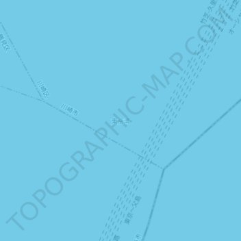
Lugar: 東京湾, Kawasaki Ward, Kawasaki, Kanagawa Prefecture, Japan (35.41685 139.77095 35.41695 139.77105)
Altitud media: 0 m
Altitud mínima: 0 m
Altitud máxima: 0 m
The shoal between Cape Futtsu in Chiba Prefecture and Cape Honmaku in Yokohama is known as Nakanose, and has a depth of 20 metres (66 ft). North of this area the bay has a depth of 40 metres (130 ft) and an uncomplicated underwater topography. Areas south of Nakanose are significantly deeper moving towards the Pacific Ocean.