
Mapa topográfico Horseshoe Bend
Mapa interactivo
Haga clic en el mapa para ver la altitud.
Horseshoe Bend
The Horseshoe Bend Airport, FAA identifier is 6M2, is owned and operated by the city. The runway is 4,524 ft. x 60 ft. and is paved. It is located at 36°13′3″N 91°45′3″W / 36.21750°N 91.75083°W / 36.21750; -91.75083 (36.2213694, -91.7554833) at an elevation of 782 ft. / 238 m. Its variation is 03E.
Acerca de este mapa
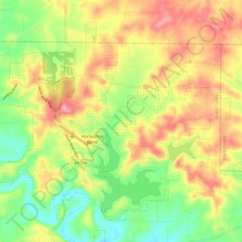
Nombre: Mapa topográfico Horseshoe Bend, altitud, relieve.
Lugar: Horseshoe Bend, Izard County, Arkansas, 72512, United States (36.19148 -91.79236 36.26120 -91.68736)
Altitud media: 220 m
Altitud mínima: 160 m
Altitud máxima: 284 m