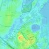
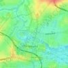
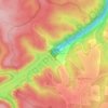
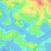
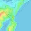
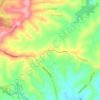
Mapa topográfico Auburn
Haga clic en el mapa para ver la altitud.
Acerca de este mapa

Nombre: Mapa topográfico Auburn, altitud, relieve.
Lugar: Auburn, Sydney, New South Wales, 2144, Australia (-33.88117 151.01192 -33.83432 151.04415)
Altitud media: 21 m
Altitud mínima: -1 m
Altitud máxima: 52 m
Otros mapas topográficos
Haga clic en un mapa para ver su topografía, su altitud y su relieve.







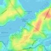
St Leonards Park
Australia > New South Wales > Sydney > North Sydney
In 2018 it was announced that North Sydney Council would commence an upgrade of the park including improving the war memorial with a reflection pool, restoration of the Tunks Fountain and elevation on a new plinth, new benches, picnic tables, barbecues and drinking fountains, upgrades to lighting, additional…
Altitud media: 61 m