
Mapa topográfico Regina
Mapa interactivo
Haga clic en el mapa para ver la altitud.
Acerca de este mapa
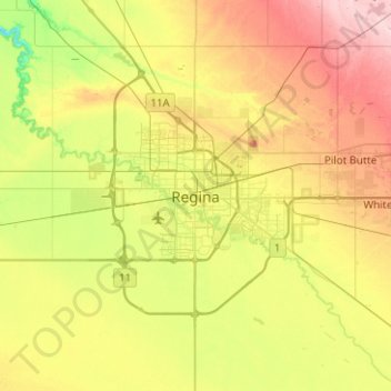
Nombre: Mapa topográfico Regina, altitud, relieve.
Lugar: Regina, Saskatchewan, S4P 3X1, Canada (50.28876 -104.77731 50.60876 -104.45731)
Altitud media: 587 m
Altitud mínima: 516 m
Altitud máxima: 686 m
Unlike other planned cities in the Canadian West, on its treeless flat plain Regina has few topographical features other than the small spring run-off, Wascana Creek. Early planners took advantage of such opportunity by damming the creek to create a decorative lake to the south of the central business district with a dam a block and a half west of the later elaborate 260-metre (850 ft) long Albert Street Bridge across the new lake. Regina's importance was further secured when the new province of Saskatchewan designated the city its capital in 1906. Wascana Centre, created around the focal point of Wascana Lake, remains one of Regina's attractions and contains the Provincial Legislative Building, both campuses of the University of Regina, First Nations University of Canada, the Royal Saskatchewan Museum, the Regina Conservatory (in the original Regina College buildings), the Saskatchewan Science Centre, the MacKenzie Art Gallery and the Saskatchewan Centre of the Arts.