
Mapa topográfico Farsala
Mapa interactivo
Haga clic en el mapa para ver la altitud.
Acerca de este mapa
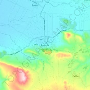
Nombre: Mapa topográfico Farsala, altitud, relieve.
Altitud media: 215 m
Altitud mínima: 122 m
Altitud máxima: 523 m
The Pharsalos of the historic era was built over a hillside of the Narthacius mountains at an elevation of some 160 m, where modern Farsala stands. It was one of the main cities in Thessaly and was the capital of the Phthian tetrarch. It was also a polis (city-state).