
Mapa topográfico St. Clair River
Mapa interactivo
Haga clic en el mapa para ver la altitud.
St. Clair River
The river is 40.5 miles (65.2 km) long and drops 5 feet (2 m) in elevation from Lake Huron to Lake St. Clair. The flow rate averages around 182,000 cubic feet per second (5,200 m3/s), and the drainage area is 223,600 square miles (579,000 km2). This takes into account the combined drainage areas of Lakes Huron, Michigan, and Superior.
Acerca de este mapa
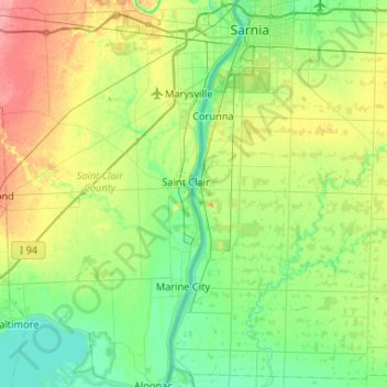
Nombre: Mapa topográfico St. Clair River, altitud, relieve.
Altitud media: 191 m
Altitud mínima: 171 m
Altitud máxima: 236 m