
Mapa topográfico Arilje
Mapa interactivo
Haga clic en el mapa para ver la altitud.
Arilje
The municipality of Arilje is located in western Serbia in the river basins of the clear mountain rivers of the Rzav and Moravica. It has a hilly-mountainous area at an altitude of 330 to 1,382 meters.
Acerca de este mapa
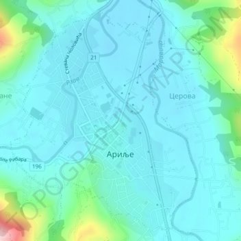
Nombre: Mapa topográfico Arilje, altitud, relieve.
Altitud media: 356 m
Altitud mínima: 319 m
Altitud máxima: 558 m