
Mapa topográfico Bickerton Hill
Mapa interactivo
Haga clic en el mapa para ver la altitud.
Bickerton Hill
Bickerton Hill refers to two low red sandstone hills that form the southern end of the Mid Cheshire Ridge in Cheshire, north-west England. The high point, Raw Head, lies on the northerly hill and has an elevation of 227 metres. Parts of the southerly hill are also known as Larkton Hill.
Acerca de este mapa
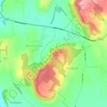
Nombre: Mapa topográfico Bickerton Hill, altitud, relieve.
Altitud media: 134 m
Altitud mínima: 77 m
Altitud máxima: 221 m