Mapa topográfico Redgate Beach
Haga clic en el mapa para ver la altitud.
Acerca de este mapa

Nombre: Mapa topográfico Redgate Beach, altitud, relieve.
Altitud media: 22 m
Altitud mínima: 0 m
Altitud máxima: 83 m
Otros mapas topográficos
Haga clic en un mapa para ver su topografía, su altitud y su relieve.
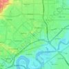
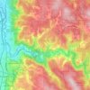
Perth
Perth, the capital of Western Australia, is situated on the Swan Coastal Plain, a flat expanse of sandy soil nestled between the Indian Ocean to the west and the Darling Scarp to the east. The Darling Scarp, also known as the Darling Range, is a low escarpment that extends north–south, marking a distinct…
Altitud media: 26 m




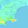
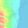
Kalbarri
Australia > Western Australia > Kalbarri
Kalbarri is a coastal town in the Mid West region located 592 km (368 mi) north of Perth, Western Australia. The town is found at the mouth of the Murchison River and has an elevation of 6 metres (20 ft). It is connected by public transport to Perth via Transwa coach services N1 and N2.
Altitud media: 32 m


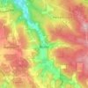
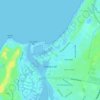
Wembley
The Indigenous people of the land are the Mooro, a subgroup of the Whadjuk, of the Noongar Aboriginal clan inhabiting the upper west region of the Swan River for at least 40,000 years. The Mooro used resources throughout the region north of the Swan River and moved as the seasons changed. They moved towards…
Altitud media: 19 m


















Bluff Knoll
Due to its elevation, Bluff Knoll and the surrounding peaks of the Stirling Ranges are some of only a few places to experience regular snowfalls in Western Australia. When snow is forecast by the Bureau of Meteorology it attracts hikers from all over the southwest region to experience it.
Altitud media: 663 m

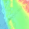
Stirling Range National Park
The park is particularly rich in banksias, eucalypts, orchids and verticordias. Ten species of mountain bells (Darwinia spp.) have been identified in the park and only one of these is found outside Stirling Range. Five major vegetation communities are known in the park with thicket and mallee-heath at higher…
Altitud media: 235 m