
Mapa topográfico Gjerdrum
Mapa interactivo
Haga clic en el mapa para ver la altitud.
Gjerdrum
Gjerdrum lies on the southwestern part of the Romerike Plain (Romerikssletta); this eastern part of the municipality lies at a low altitude and is covered by significant layers of clay that was deposited, towards the end of the previous ice age.
Acerca de este mapa
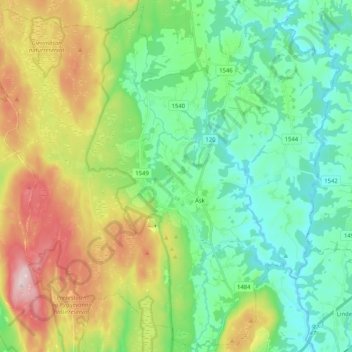
Nombre: Mapa topográfico Gjerdrum, altitud, relieve.
Lugar: Gjerdrum, Viken, 2022, Norway (60.02853 10.91114 60.12900 11.11614)
Altitud media: 213 m
Altitud mínima: 104 m
Altitud máxima: 447 m