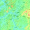
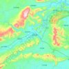
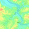
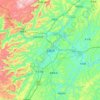
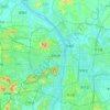
Mapa topográfico Loudi
Haga clic en el mapa para ver la altitud.
Loudi
The western parts of the city borders mountainous regions while the east parts is generally considered hilly with gently sloping topography.
Acerca de este mapa

Nombre: Mapa topográfico Loudi, altitud, relieve.
Lugar: Loudi, Hunan, China (27.20699 110.76509 28.23868 112.51818)
Altitud media: 246 m
Altitud mínima: 21 m
Altitud máxima: 1.562 m
Otros mapas topográficos
Haga clic en un mapa para ver su topografía, su altitud y su relieve.


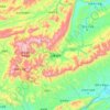


Zhangjiajie Tianmen Mountain National Forest Park
China > Hunan > Yongding District
Altitud media: 781 m
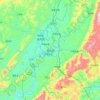
Zhangjiajie Tianmen Mountain National Forest Park
China > Hunan > Yongding District
Altitud media: 781 m

Ningxiang
China > Hunan > Ningxiang > Yutan Subdistrict
The highest natural elevation in Ningxiang County is 1071m at Wazizhai (瓦子寨).
Altitud media: 83 m