Geolocalizar

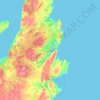
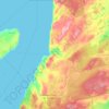
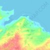
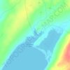
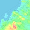
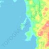
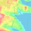
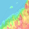
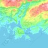
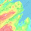
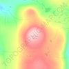
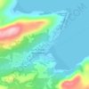
Mapa topográfico Chapel Island

Haga clic en el mapa para ver la altitud.

Acerca de este mapa

Nombre: Mapa topográfico Chapel Island, altitud, relieve.

Lugar: Chapel Island, Newfoundland, Newfoundland and Labrador, Canada (47.52351 -55.39394 47.57039 -55.35137)

Altitud media: 31 m

Altitud mínima: -1 m

Altitud máxima: 261 m

Otros mapas topográficos

Haga clic en un mapa para ver su topografía, su altitud y su relieve.
Gander

Canada > Newfoundland and Labrador

Altitud media: 100 m

Badger

Canada > Newfoundland and Labrador

Altitud media: 106 m

Dover

Canada > Newfoundland and Labrador

Altitud media: 27 m

Clarenville

Canada > Newfoundland and Labrador

The Clarenville area has many of the physical features characteristic of the East Coast of Newfoundland and has a marine climate. It lies along the coastal slopes which rise from the Atlantic Ocean towards the interior central plateau of the island. The dominating physical feature is a ridge of broken peaks…
Altitud media: 102 m

Burin

Canada > Newfoundland and Labrador

Altitud media: 43 m

Equípate para tu próxima aventura:

🧭Brújulas de Orientación - Herramienta clásica esencial para lectura de mapas topográficos
🗺️Mapas topográficos - Mapas detallados para senderismo y exploración
📚Guías de Senderismo por España - Las mejores rutas explicadas paso a paso
🥤Botellas de Acero Inoxidable - Durabilidad y frescura para tu hidratación
🔋Cargadores Solares Portátiles - Energía inagotable para tus dispositivos en rutas remotas

Como asociado de Amazon, este sitio gana comisiones por las compras que califican, sin ningún costo adicional para usted.