
Mapa topográfico Anzère
Mapa interactivo
Haga clic en el mapa para ver la altitud.
Acerca de este mapa
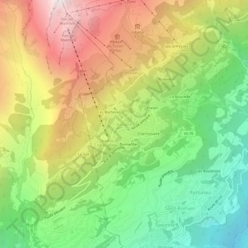
Nombre: Mapa topográfico Anzère, altitud, relieve.
Lugar: Anzère, Ayent, Ering, Wallis, 1972, Schweiz (46.27707 7.37895 46.31707 7.41895)
Altitud media: 1.493 m
Altitud mínima: 692 m
Altitud máxima: 2.505 m
Anzère ist ein in den 1960er Jahren erbautes Feriendorf auf dem Gebiet der Gemeinde Ayent, im Kanton Wallis in der Schweiz. Anzère liegt auf einem Sonnenplateau auf 1500 Meter Höhe in der Nähe von Sion und Crans-Montana.
Otros mapas topográficos
Haga clic en un mapa para ver su topografía, su altitud y su relieve.